itinerary
Path 746 Alta via dei Monti Amerini
Type of excursion: cai path
Type of route: path
Distance covered: 7,1 km
Difficulty: e excursion
Difference in altitude: not available
Excursion material: Trekking outfit

itinerary
Type of excursion: cai path
Type of route: path
Distance covered: 7,1 km
Difficulty: e excursion
Difference in altitude: not available
Excursion material: Trekking outfit


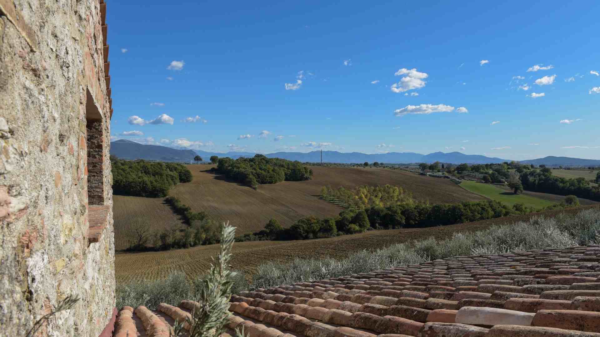
The Path 746 Alta via dei Monti Amerini is one of the most evocative paths of the network of Sentieri Amerini, it is 7.1 km long with hiking difficulties and walks on the ridges that separate Montecchio from Melezzole.
The path starts from the territory on the border between Guardea and Avigliano Umbro and climbs towards Mount Pianicel Grande after passing Campo Croci following the homonymous Path 712 Monte Pianicel Grande (link a sentiero).
On the saddle, insisting on the Path 711 Piani Puosi – Monte Pianicel Grande you reach the Puosi plains on Mount Rotondo.
The path between breathtaking views and nature continues towards the Posta del Prete to climb Mount Croce di Serra, which has 997 meters. it is the highest peak of the Amerini mountains, and then Mount Melezzole.
The end of the excursion is in Pian dell’Ara in the territory of the town of Montecchio (link a PDI).

itinerary

The Path 746 Alta via dei Monti Amerini is one of the most evocative paths of the network of Sentieri Amerini, it is 7.1 km long with hiking difficulties and walks on the ridges that separate Montecchio from Melezzole.
The path starts from the territory on the border between Guardea and Avigliano Umbro and climbs towards Mount Pianicel Grande after passing Campo Croci following the homonymous Path 712 Monte Pianicel Grande (link a sentiero).
On the saddle, insisting on the Path 711 Piani Puosi – Monte Pianicel Grande you reach the Puosi plains on Mount Rotondo.
The path between breathtaking views and nature continues towards the Posta del Prete to climb Mount Croce di Serra, which has 997 meters. it is the highest peak of the Amerini mountains, and then Mount Melezzole.
The end of the excursion is in Pian dell’Ara in the territory of the town of Montecchio (link a PDI).
discover all the itineraries of the village
Information, appointments and travel proposals on:
The Progressive Web App is part of the project “Le Terre dei Borghi Verdi”, realized in collaboration and with the contribution of Regione Umbria – Assessorato al Turismo
©2021 Le Terre dei Borghi Verdi
Le Terre dei Borghi Verdi
Welcome in Southern Umbria,
where the slowness becomes value
Information, appointments and travel proposals on:
The Progressive Web App is part of the project “Le Terre dei Borghi Verdi”, realized in collaboration and with the contribution of Regione Umbria – Assessorato al Turismo
©2021 Le Terre dei Borghi Verdi