The Tour from Calvi to San Pancrazio, which starts from Calvi dell’Umbria and arrives to the top of the mountain, going through green holm oak woods , is one of the most suggestive along the Sentieri Umbro Sabini: an unique experience for those who used to do trekking or biking.
Tour from Calvi to San Pancrazio along the Sentieri Umbro Sabini
The excursion, which is possible to make in any way at any moment of the year, starts not far from the old town of Calvi and arrives on top of the mountain of San Pancrazio to 1027 meters of height, through paths dirt and market by CAI.
The trees of holm oak, hornbeam, orniello, strawberry tree, Aleppo pine accompany silently the climb that can be made starting:
- or from the parking lot of the cemetery in Via Monte San Pancrazio (point A of the GPX) – route of 14 km;
- or from the entrance to Sentiero 643 (point B of the GPX) about 1.3 km from the cemetery car park, signposted on the left.
The ascent to Mount San Pancrazio
Starting from the B point, the path goes up in the direction northeaster until it reaches and across a plateau at 640 meters high along the power line that leads to the mountain.
After 300 meters the path turns right into the woods until reaching the Pianezza location at 645 meters.
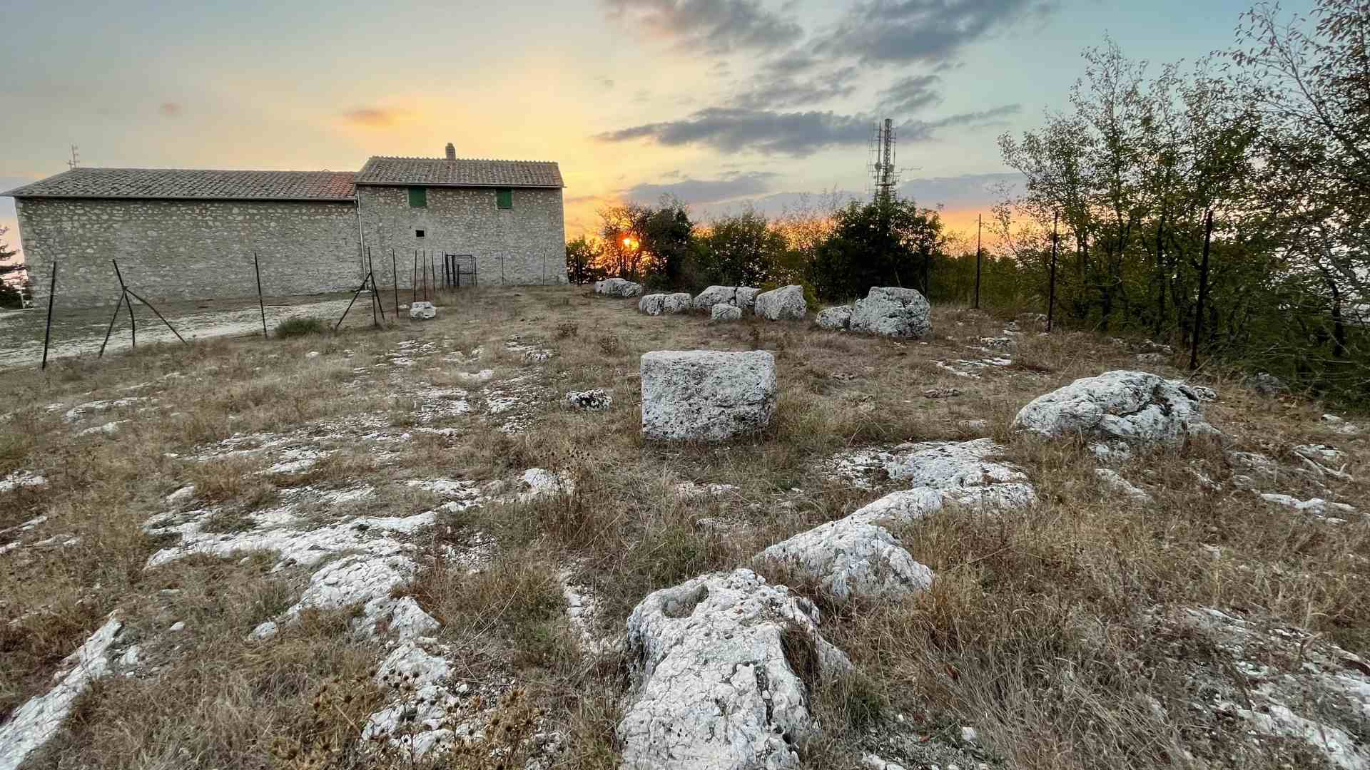
Continuing to follow the Sentiero 643 slowly you arrive at the top of the Mount San Pancrazio, where you can admire – in addition to the beautiful landscape – the little Chapel of San Pancrazio, built on the remains of a Santuario Italico of the VI century BC.
Return
The downhill path can follow two solutions:
- take the sentiero 643 and descend on the same uphill stretch;
- or, it is advisable to follow the most suggestive path that, passing from the Saglianese valley, leads back to the starting point (Point B).
In this second case , the rout is this of the Sentiero 640 which goes down before in direction southeastern and then , at an altitude of 840 metres, in direction northeastern until cross the Sentiero 644 dirt, at an altitude of 780 meters, heading south.
At 695 meters opens the Saglianese valley and, turning west, you reach again loc. Pianezza.
From here you can reach the starting point:
- or through Path 643:
- or, more comfortably, going down along the paved road.
Discover Calvi dell’Umbria and its territory
Discover the points of interest and the trails of Calvi and of its territory:
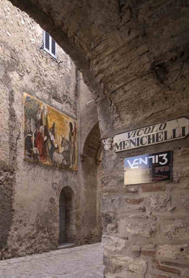
Walk to the old town of Calvi
Calvi and its territory
Sentiero 641: Calvi – San Benedetto – Montebuono
Sentiero 642: Calvi – Vallombrisa – Valle Saglianese
Sentiero 643: Calvi – Roccarello – Monte San Pancrazio